Integrated Transport Plan
The Integrated Transport Plan was adopted by Council on Tuesday 28 September and can be viewed on the City's website. Thank you to everyone who participated in the development of the Plan.
Background: The City is developing its first Integrated Transport Plan (the Plan) to guide transport connections in and around the City over the next ten years. With our population projected to grow to over 65,000 by 2041, we need to look at the way we travel and reduce our reliance on private vehicles.
The City’s vision for transport is: a safe and easily accessible transport network, connecting the City’s vibrant neighbourhoods and to the wider Perth area.
The draft Plan focuses on five key areas:
 | Public Realm Manage streets and public spaces to become safe, attractive environments to encourage walking and cycling. |
 | Active Transport Promote walking and cycling as an attractive transport choice for local trips, by improving connections and infrastructure across the City. |
 | Public Transport Work with State Government and public transport providers to improve public transport frequency and connectivity to and within the City |
 | Road Transport Slow growth in traffic congestion across the local government area for the benefit of the whole community. |
 | Parking Management Manage the provision and operation of on-street and off-street parking to service the community and local businesses whilst managing travel demand to encourage a shift towards trips being made using public transport, cycling and walking. |
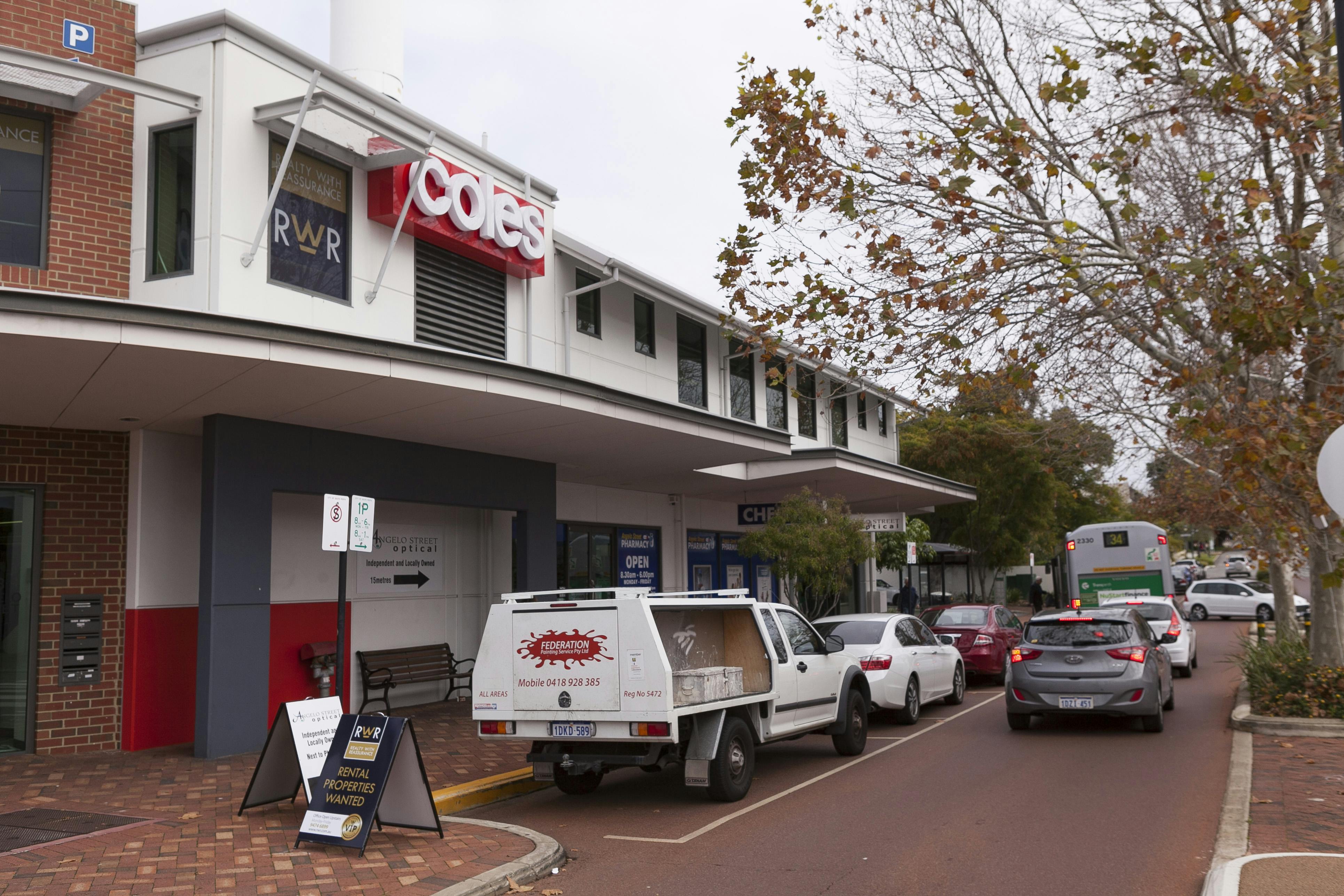
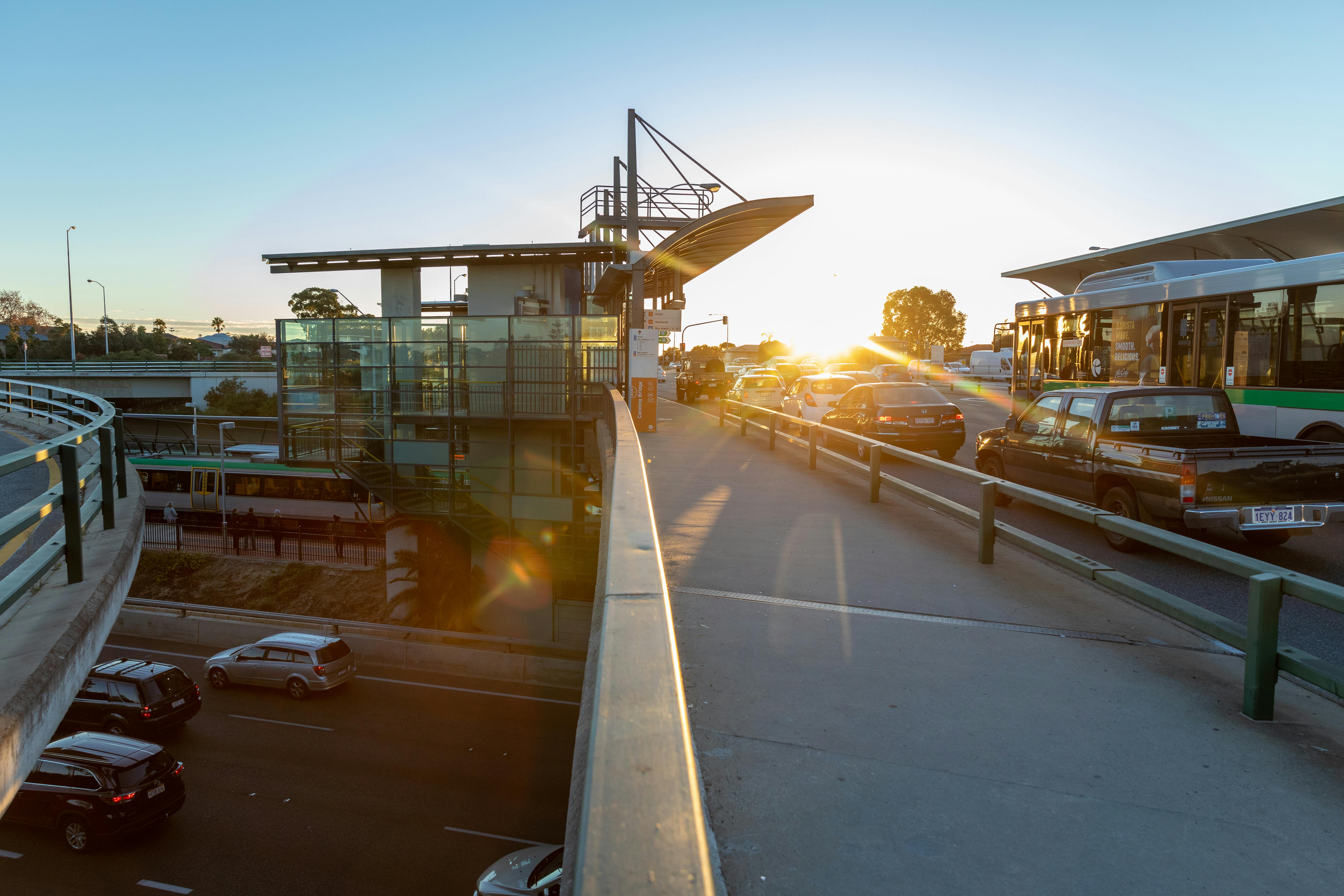
The actions within the draft Plan are either City-wide or location specific. Seven activity nodes have been identified for the draft Plan - South Perth Peninsula, Canning Highway, Angelo Street, Preston Street, Canning Bridge Activity Centre, Karawara, and Waterford-Salter Point. View the map to see the nodes.
The draft Plan has been developed by incorporating research and stakeholder feedback from a number of major planning, transport and parking projects. It has also been designed to align with many of the City’s existing documents which are available in the document library.
View the whole draft Plan or just the Implementation Plan, which we have extracted for convenience. The Appendix is available as a separate document.
How can I get involved?
- Complete the online feedback form to tell us what you think of the draft Plan
- Ask us a question
- Read the frequently asked questions
Feedback closed 4pm, Tuesday 8 June 2021.


